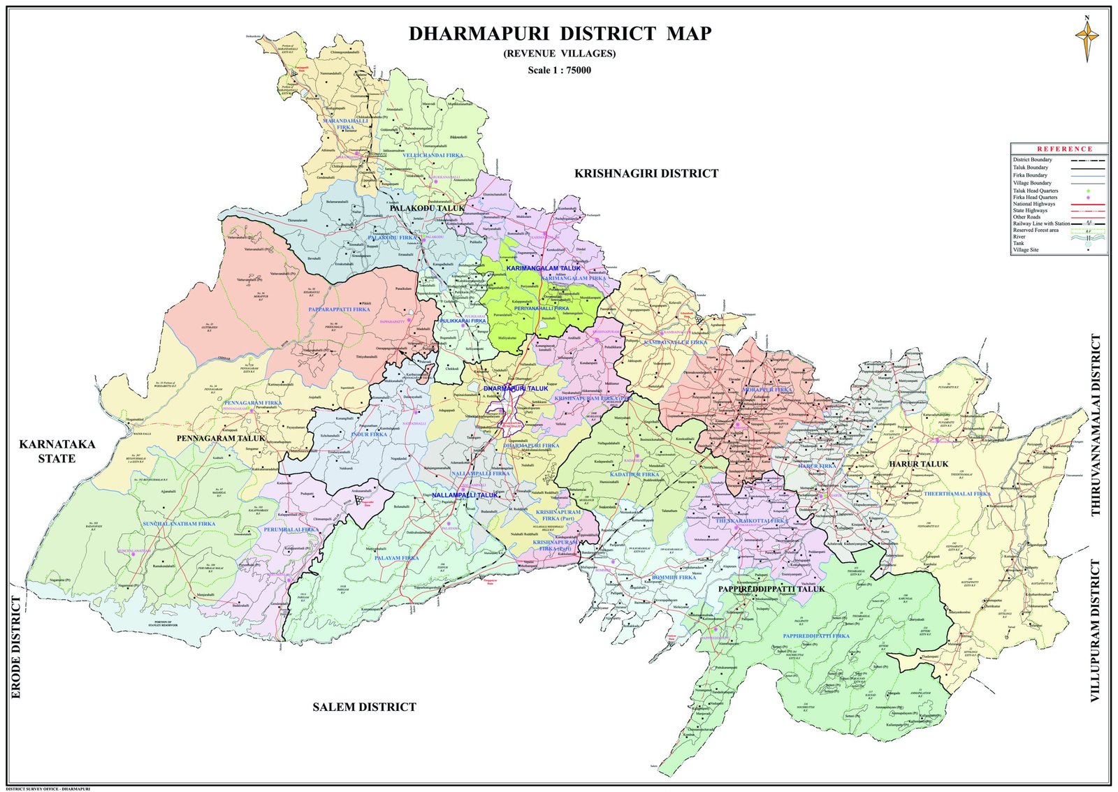
District is situated in the north-western part of Tamil Nadu. It is bounded in the west and north by Karnataka State. The district economy is mainly agrarian in nature. Nearly 70% of the workforce is dependent on agriculture and allied activities. Dharmapuri district was created in 1966, when it was separated from Salem district. Krishnagiri district was formerly part of Dharmapuri district, becomes separate district in 2004. The old name of Dharmapuri was Tagadur. The climate of the district is generally warm. On an average the district receives an annual rainfall of 894.6 mm. Chinnar and Thenpanniyar are the major rivers in the district. The major source of the irrigation is dug well. There are two revenue divisions in the district namely Dharmapuri and Harur. There are seven district Taluks namely Dharmapuri, Harur, Palakkodu, Pennagaram, Pappireddipatti, Nallampalli and Karimangalam.